Equipment
The following is a small excerpt of our portfolio which is offered at the Faculty of Earth Sciences, Geography and Astronomy in the context of the Core Facility "eSurfLab":
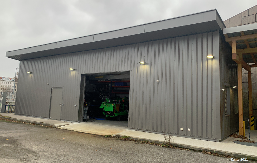
Workshop UZA II
Use:
Workshop for maintenance of equipment, storage room
Location:
Vienna
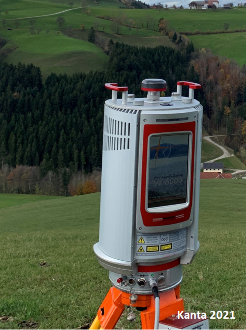
3D Terrestrial Laser Scanner VZ-6000, RIEGL
Use:
Portable terrestrial laser scanner for recording surface changes in mm resolutionand with a range up to 6000m. The major advantage of this method is that, in contrast to purely point-based surface measurements - such as GNSS - it provides areal information about a surface and can even partially penetrate vegetation.
Measurement:
The device emits laser beams, which are reflected by the surface to be examined and received again by the device. This results in a so-calledpoint cloud, which has exact position coordinates (x,y,z) for each individual reflected point.
Output:
Highly accurate terrain surface models (digital terrain models, DTM).
Location:
Vienna
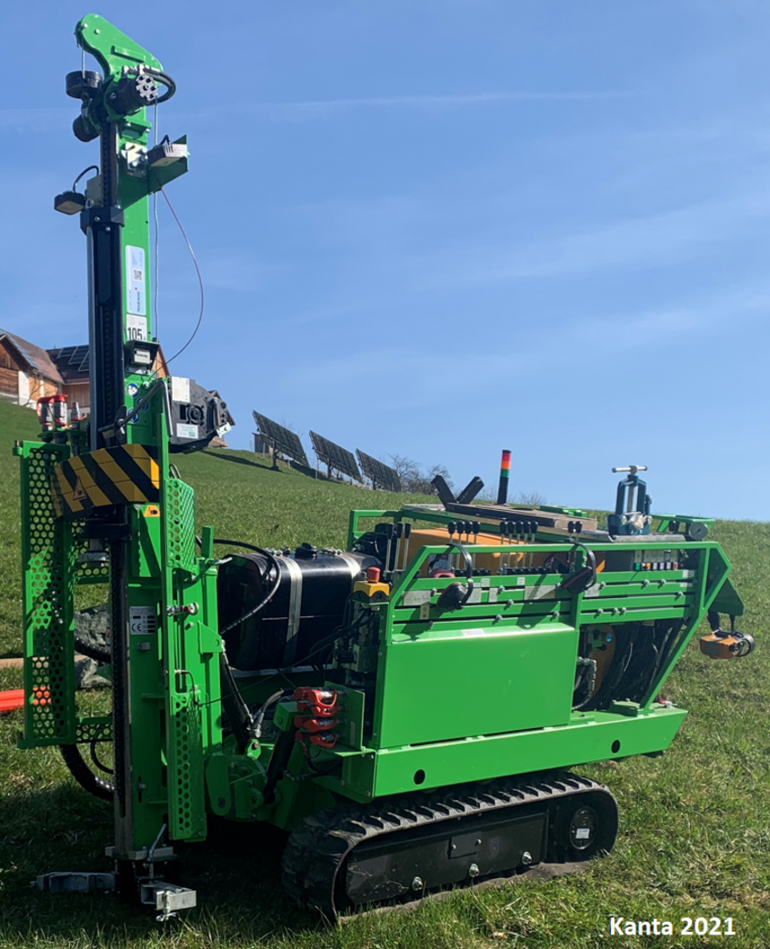
Drilling rig GTR 1100 MF, Geotechnics Dunkel
Use:
Core drilling to investigate soil properties and insert inclinometer tubes.
Dynamic probing to determine penetration resistance.
Location:
Vienna